Mar 20, 2021 • 12:00 pm - 3:00 pm
Event: Westfield Galleria At Roseville Hosted by Keaton's Child Cancer Alliance
At: Westfield Galleria At Roseville- Will have virtual and in person options available
1151 Galleria Blvd., Roseville, CA US
My Roles:
- Shavee
- Team Captain
Brian Clark has joined the ranks of:
Knight of the Bald TableBe it known to all that this participant has dedicated at least seven years of service to the St. Baldrick’s Foundation helping kids with cancer throughout all the land.
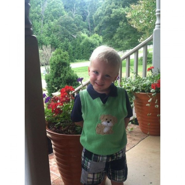
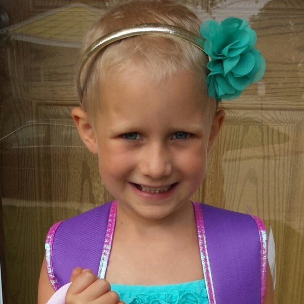
St. Baldrick’s Honored Kids
Kids with cancer are our reason for it all. They’re the inspiration behind our event and the reason we’re helping fund childhood cancer research. We believe all kids should be able to grow up and turn their dreams into realities. Join our event or make a donation, and click the photos below to read their incredible stories.